
DJI Matrice 4E and DJI Terra Map Khumbu Icefall During 2026 Climbing Season on Mount Everest
Article excerpt
Highlighted: the sentence this signal was extracted from
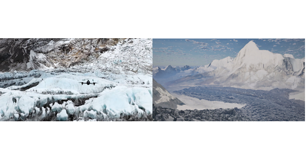
New Video Case Study Showcases How Advanced Drone Technology is Making Mountaineering Safer SHENZHEN, China, July 20, 2026 /PRNewswire/ -- DJI, the global leader in civilian drones and creative camera technology, today released new long surveying footage of the Khumbu Icefall on Mount Everest (Mount Qomolangma). Presented as a video case study, Nepalese drone company Airlift Technology showcases their aerial surveying operations at altitudes above 6,000 meters and temperatures below -20°C. The workflow included three components: aerial data collection with a DJI Matrice 4E, 3D model generation with DJI Terra, and day-by-day comparative analysis. With these high-precision 3D models, icefall doctors knew the locations of every crevasse, surface displacement, and serac between Base Camp and Camp 1 – before ever stepping onto the ice. "With DJI drone technology, we can create a 3D model of the Khumbu Icefall that helps the Sherpas and icefall doctors locate crevasses and plan the route - without climbing the icefall first," said Raj Bikram Maharjan, CEO of Airlift Technology. "To our knowledge, this is the first deployment of its kind in Nepal, and potentially one of the first real-world operational uses globally at this scale in a high-altitude expedition environment." Glacial Challenges of Traditional Surveying Ahead of each climbing season, a team of Sherpas called "Icefall...
Keep reading with a free account
The rest of this article, and every signal for DJI, is in your free account.